The Twin Cities area has developed a world-class system of regional and
bicycle trails. One of the crown jewels in the system is the Cedar Lake
Trail, the nation's first bicycle freeway. The Cedar Lake Trail ends at
highway MN-100 just south of Interstate I-394. The Hutchinson Spur Trail
was developed to extend the Cedar Lake Trail along an old Great Northern
Railway spur line to connect with the Southwest LRT Trail near the
intersection of US-169 and MN-3 in Hopkins. The trail is used both by
bicycle commuters and recreational users.
The Great Northern Railway line was abandoned sometime prior to 1970 when
the county highway 18 freeway was built. County highway 18 is unique in that
it is one of the few freeways to be developed by a county as opposed to being
a state, federal, or interstate highway project. The railroad roadbed was
left intact, but the bridges had been removed. The bridge over Minnehaha
Creek does not show up in a 2000 work by Victor Gilbertson, but it is on an
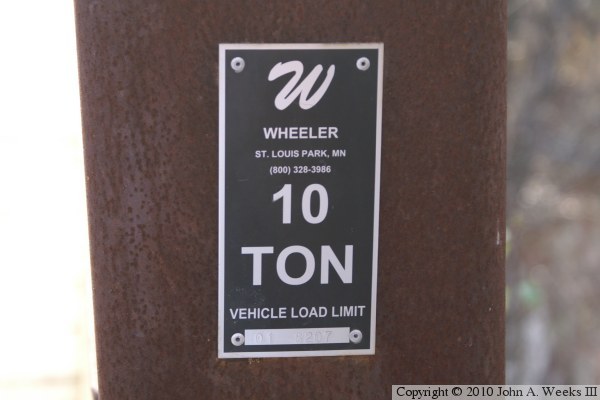
aerial photo from 2003. The bridge builder plate is stamped with the digits
‘01’, leading me to believe that this bridge was installed in
2001.
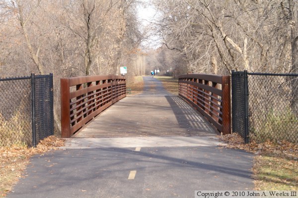
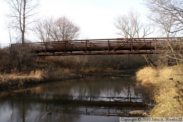
The photo above is looking north down the length of the Hutchinson Spur Bridge
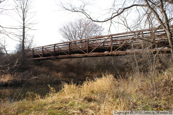
over the Minnehaha Creek in Saint Louis Park. The photo below is looking
southwest down the east face of the truss structure.
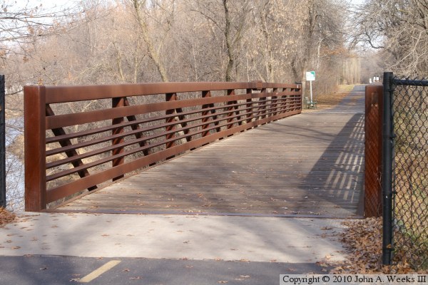
The photo above is a view looking north down the length of the bridge deck
from the southeast corner of the structure. The photo below is a similar
photo looking south down the length of the bridge deck from the northeast
corner of the bridge.
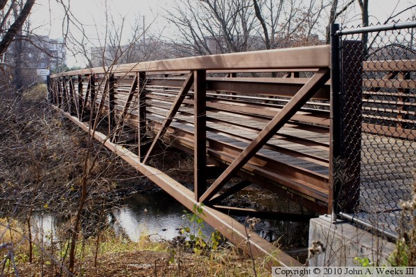
These two photos are views from the north bank of the Minnehaha Creek. The
photo below is looking upstream to the west towards the center of the bridge
span. The photo below is looking southwest from near the north bridge
abutment.
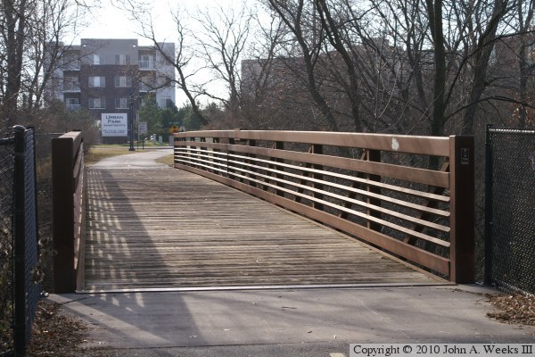
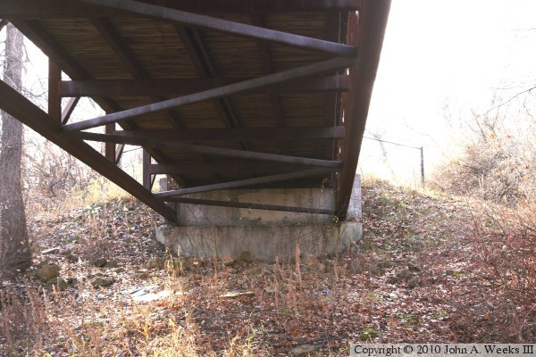
The photo above is the south bridge abutment as seen from under the the
truss span. The photo below is the bridge builder's plate. Note that the
bridge was built by a local company.