Fort Peck Dam is one of the huge earth-filled dams along the Missouri
River. Built in the late 1930s and finished in 1940, the project
required over 11,000 workers. Fort Peck Lake, which extends for 134
miles behind the dam, is the fifth largest man-made lake in the US.
The lake has 1520 miles of shoreline, and is as deep as 220 feet.
Completion of the dam was delayed when a section of dam collapsed
and failed in 1938. The accident lead to the loss of 8 lives. The
dam features 2 power plants. Powerhouse #1 has 3 units. It first
started generating power in 1943, but was not completed until 1951.
A second powerhouse was completed in 1961, adding 2 more power
generation units.
Like most modern dams, the Fort Peck Dam has an emergency spillway to keep
flood waters from overtopping the main earth-fill structure. In the
case of the Fort Peck Dam, the spillway is located 3 miles from the main
dam structure. This is to avoid having flood waters flow over the main
dam. Rather, a more suitable soil was located at the head of a natural
valley near the dam site. The spillway is over 800 feet wide and has
16 enormous steel gates.
The dam was built using the hydraulic earth-fill method. Large dredge
boats were brought in. These boats dredges material from downstream
of the dam. The material was pumped in 28 inch diameter pipes to the
dam. The pipe system would deposit the dredged material at the dam
with larger rocks making up the core, and finer material filling in
the gaps. A wall of steel sheet pile runs across the base of the dam
to prevent water from leaking under the dam.
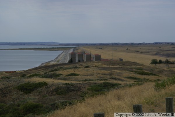
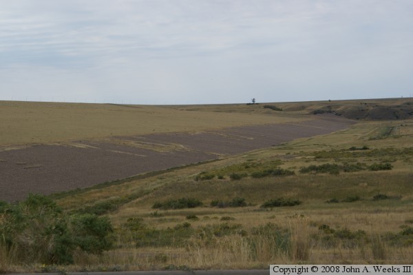
The photo above is taken from the east end observation area. It shows
an overview of the dam, which extends for 3-1/2 miles in the distance.
The lake is to the left, and the river flows to the right. The structures
in the foreground (shown closer below) are the control stations for the
powerplant intake tunnels.
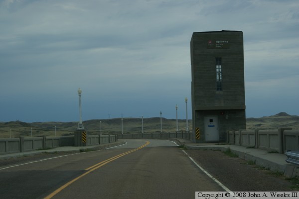
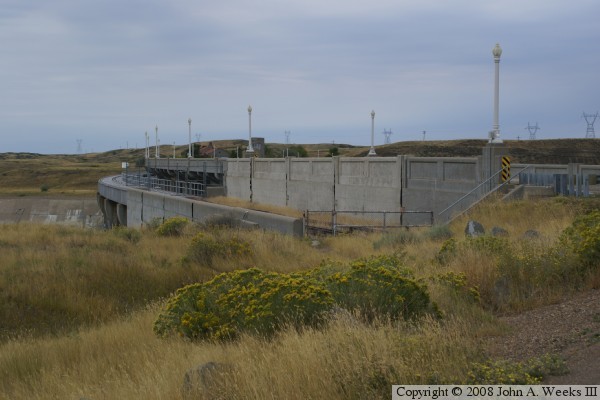
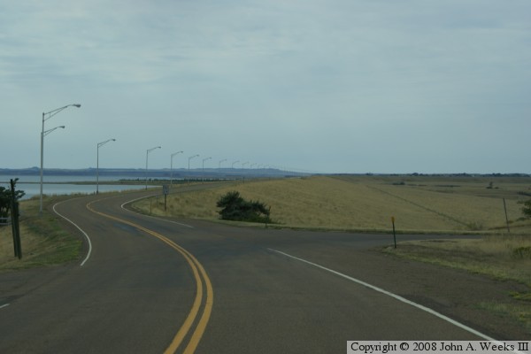
This is the roadway where it crosses the spillway. The spillway control
building is to the right. The photo below is the side of the bridge
that crosses the spillway. The spillway is located 3 miles from the
main dam.
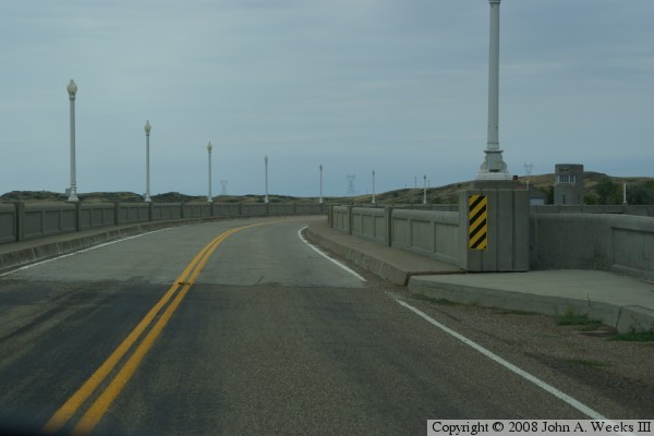
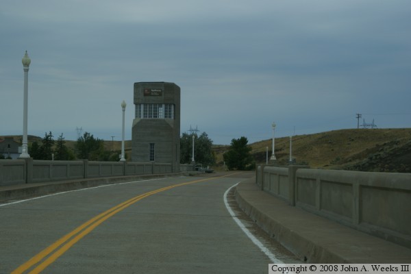
These are two more photos of crossing the bridge that carries Montana
State Route 24 across the spillway.
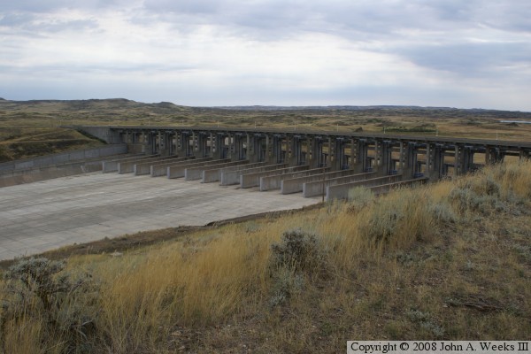
The photo above is the downstream side of the spillway taken from the
spillway observation area. The spillway is over 800 feet wide. The
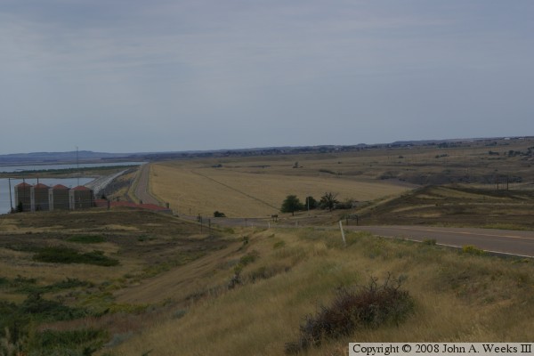
photo below is looking west across the dam from road level. The dam
is very wide at the base, so you do not get the feeling that you are
250 feet above the normal terrain.
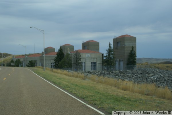
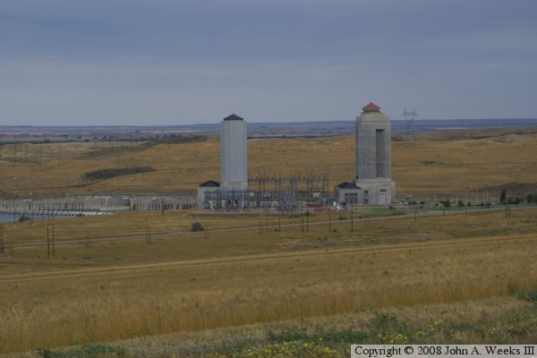
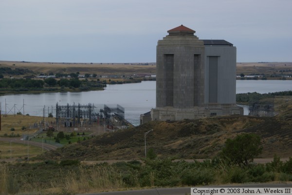
The photo above shows the two powerplants. Powerplant #2 is on the left,
while powerplant #1 is on the right. Powerplant #2 has 3 generators, while
powerplant #1 has two generators. The #1 powerplant was rebuilt and
upgraded once since it went into operation in 1943. The vertical structures
are surge towers. They act as small reservoirs to smooth out the flow of
water to keep sudden surges in flow from damaging the turbines.
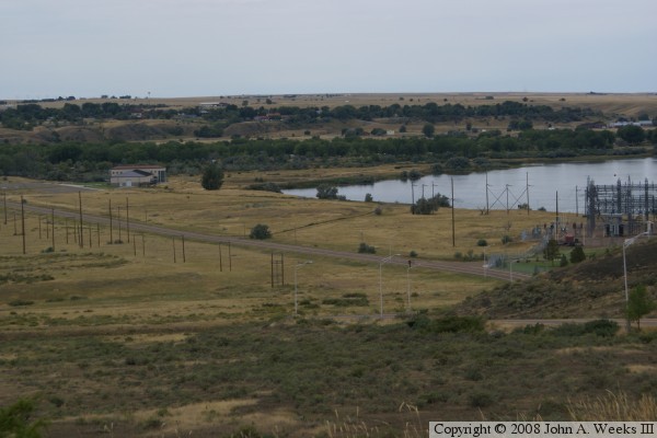
The photo above is looking downstream from the top of the dam. The
museum is on the left, while the powerplants are just off to the right.
The water is part of the outflow channel of the Missouri River. The
photo below is taken from the bottom of the dam looking back towards the
top. The lower section of the dam is part of the cofferdam built during
construction of the dam. It is left uncovered in order to spot water leaks.
The area above is the hydraulic fill. It is covered in grass, but is mowed
regularly.