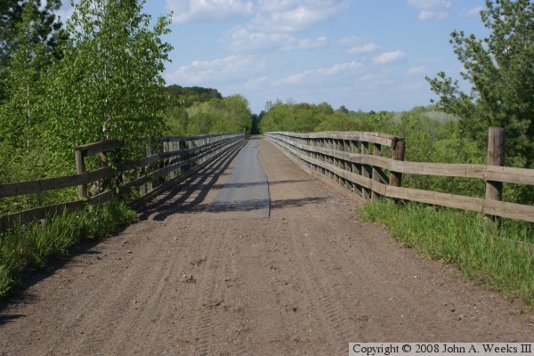
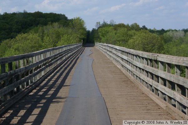
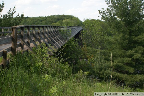
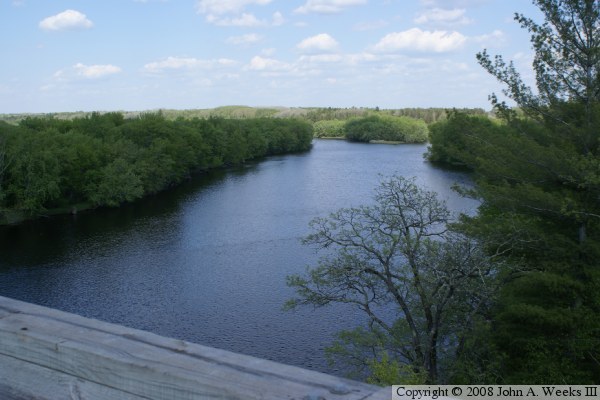
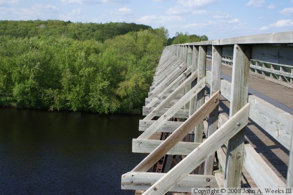
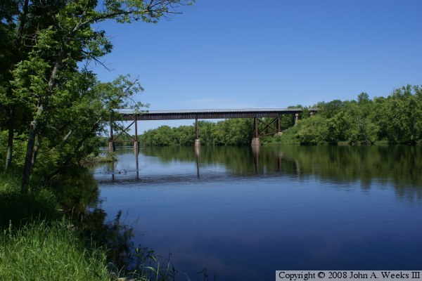
One of the biggest natural features that needed to be conquered was the 120 foot deep Saint Croix River Gorge. The gorge was very narrow near Danbury, only 500 feet, as opposed to being up to a mile wide in places. The Soo Line engineers decided to bridge the valley using a large deck plate bridge. That type of bridge has two large parallel steel beams. The beams are cross braced to keep them from twisting. The rail deck is placed on top of the beams. Support towers hold up the beams. It is a very simple yet very effective rail bridge. After factoring in the cuts and fills near the river, the bridge ended up being 75 feet above the water and extends 520 feet across the Wisconsin and Minnesota state line.
The Soo Line filed to abandon this rail line in September of 1986. As early as spring of 1987, local officials from both Wisconsin and Minnesota were meeting to discuss the possibility of creating a regional trail along the abandoned rail line. Local governments bought parts of the right of way starting in 1988 and 1989, then the state stepped in and bought the entire right of way in June of 1991. This was the genesis of the Gandy Dancer State Trail.
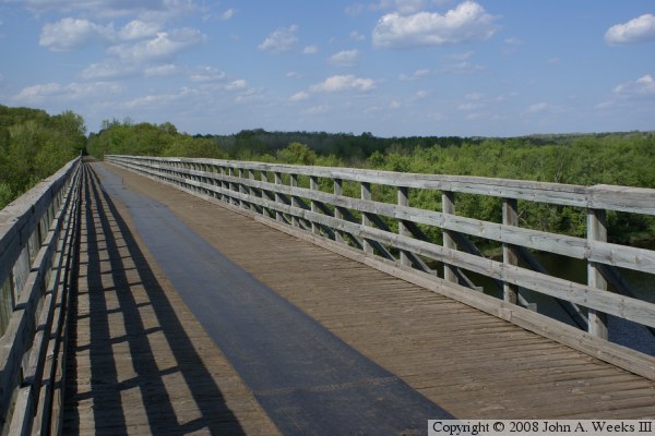
Today, the trail starts in Saint Croix Falls, Wisconsin, and runs north through the timber country to Danbury. From Danbury, the trail crosses the Soo Line Bridge into Minnesota. The Minnesota section runs roughly parallel to the state line, until the trail crosses back into Wisconsin and ends near Pattison Park (famous for the tall waterfall). Near Pattison Park, you can pick up other state trails, and even head into the Twin Ports area. The Gandy Dancer trail, named after the work crews on the railroad, allows ATVs, snowmobiles, horses, hikers, mountain bikes, and cross-country skiers.
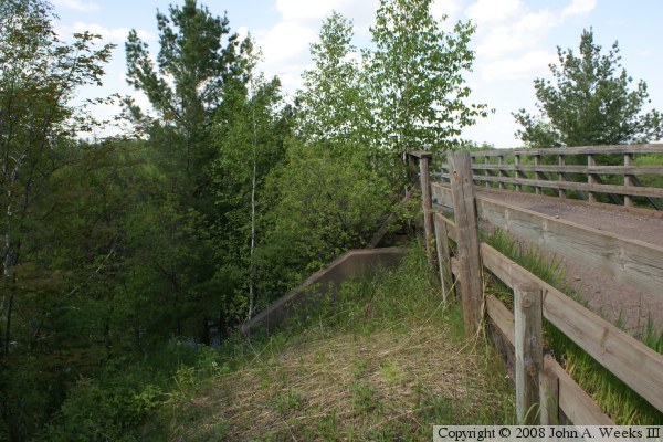
The photo above is a view of the northern half of the bridge. The southern half is obscured by trees, and there is no easy access to either riverbank near the bridge.