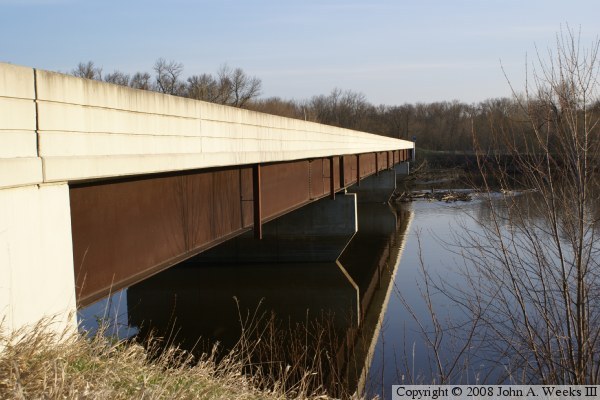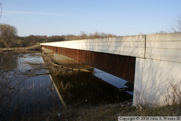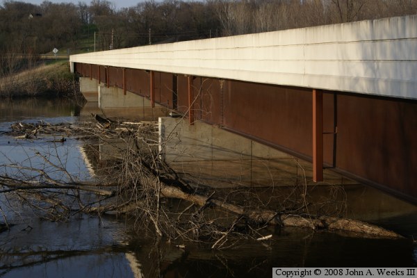
These photos were taken during a period of high water where there was spring runoff combined with a series of unusually heavy rains. The water was about 10 feet higher than it normally is during the summer and fall months. Despite the water being high, it was not moving especially fast. There was a bunch of debris stuck under the bridge and on the piers. It appears to be mostly branches and downed trees.
Not much happens in Wegdahl based on how seldom it appears in news archives. The city mostly existed to support the Milwaukee Road Railroad. The Milwaukee Road merged into the Soo Line and then the Canadian Pacific, and now no longer runs through this area. A small short-line railroad is working to establish regular service over the former Milwaukee Road tracks. Those tracks cross county highway 7 just north of this bridge.
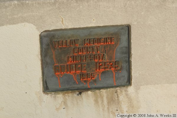
Note—an unusual item I noticed is that the NBI number for this bridge does not fit the typical MN-DOT bridge ID number scheme. This is the first and only bridge in Minnesota where I have seen that happen. I also wonder why the investment was made to build this bridge when the US-212 bridge is less than 2 miles upstream.
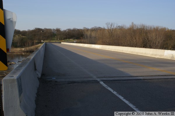
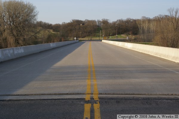
The photo above is looking north down the length of the county highway 7 bridge from the Yellow Medicine County side of the Minnesota River towards the Chippewa County side of the river. The photo below is looking south along the upriver west face of the structure.