This bridge on US-212 is located about 3 miles east of Montevideo. US-212
crosses the Minnesota River three times in this general area. The first
crossing is in Montevideo, where US-212 is multiplexed with US-59. Heading
east, the highway is on the north side of the river. US-212 crosses the
river a second time at this location, placing the highway on the south
side of the river. US-212 crosses the Minnesota River one more time at
Granite Falls, where the highway again runs on the north side of the river,
and stays on the north side of the river all the way into the Twin Cities.
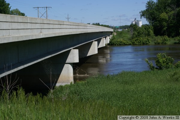
The US-212 bridge is a prestressed concrete girder bridge. It has 5 piers,
resulting in 6 spans, each about 100 feet long. A prestressed concrete bridge
typically has shorter spans than a similar steel bridge. For example, the
Wegdahl bridge 2 miles downstream is about the same length, but has only
4 spans compared to 6 spans for this bridge. While a prestressed concrete
girder bridge requires more piers, it needs fewer inspections, far less
maintenance, and generally has a longer life.
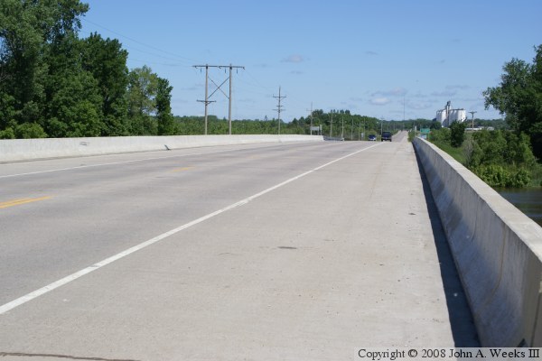
Being of 1987 vintage, this is a totally modern bridge with a modern
concrete deck, slanted guardrails, and wide shoulders. At the same
time, it is totally devoid of any decorative features. It was built
strictly for function. It is, however, located in a very scenic setting,
and the slight hump in the deck gives the bridge a touch of character.
The photo above is a view looking west along the north face of the highway
US-212 bridge over the Minnesota River near Montevideo. A grain elevator
on the outskirts of Montevideo is visible in the distance.
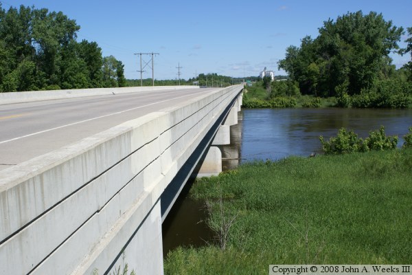
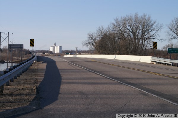
These two photos are views from the northeast corner of the US-212 bridge.
The photo above is looking west across the Minnesota River channel towards
Montevideo. The photo below is looking down the length of the bridge deck
from the north side of the highway.
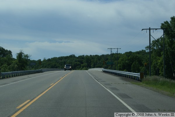
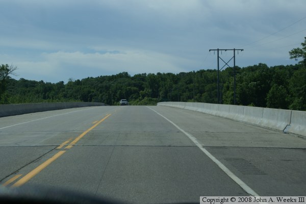
These two photos are views while traveling eastbound on highway US-212.
The photo above is approaching the west end of the bridge, while the photo
below is entering the bridge.
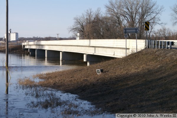
These two photos are views from the spring flood of 2010. The photo above
is looking west down the length of the bridge towards the city of Montevideo,
while the photo below is the upriver south face of the structure. The area
around Montevideo is relatively flat. Once the river overflows its banks,
the water can cover a large area. US-212 was nearly flooded just west of
this bridge. Water levels dropped nearly 2 feet when these photos were taken,
but the rose in a second crest that required MN-DOT to build a temporary
dike along the highway.
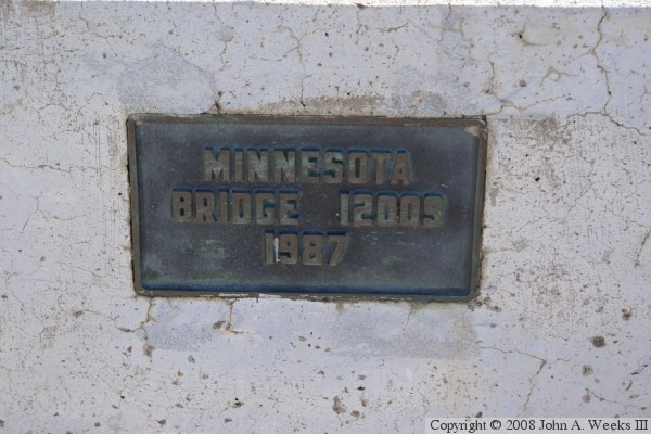
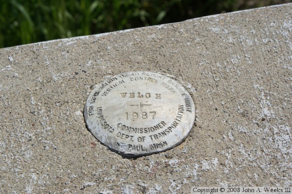
The photo above is the bridge plate. The photo below is a geodetic marker
installed on the bridge railing by MN-DOT. MN-DOT maintains a large number
of these markers on structures throughout the state. They are periodically
resurveyed to ensure that their geodetic database remains up to date.