|
|
| Highways, Byways, And Bridge Photography |
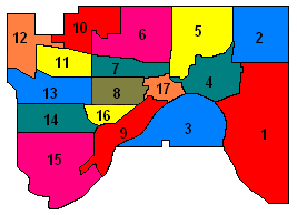
Saint Paul Planning Districts And
Neighborhood Boundary Signs

|
| The City of Saint Paul, Minnesota, is divided into 17 city
planning districts, which are further subdivided into neighborhoods. Many
neighborhood organizations have erected boundary signs or fly banners to
welcome people to their part of the city. Click on a district below to see
the signs and banners for each Saint Paul neighborhood that posts a welcome
sign or flag. |
Click on a district above or scroll down to view the boundary signs.
|
|
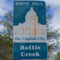
#1 Battle Creek District
Battle Creek is both a planning district and a neighborhood. The district
also includes the Highwood Hills and Sunray Neighborhoods. Battle Creek
is named after a stream that feeds into Pigs Eye Lake. The creek is
named after a small battle between rival Indian tribes in 1842.
|
|
|
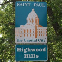
Highwood Hills Neighborhood
Highwood Hills was developed in an area of rolling hills. It featured
narrow curving roads to give the neighborhood some character. This did
not have a wide appeal, so development was slow until the automobile
became common after WWII and the roads were improved.
|
|
|
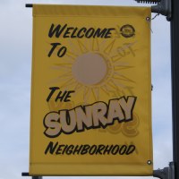
Sunray Neighborhood Flag
blurb
|

|
|
#2 Greater East Side District
blurb
|
|
|
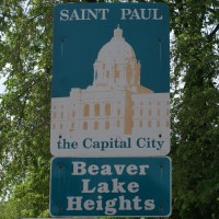
Beaver Lake Heights Neighborhood
blurb
|
|
|
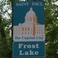
Frost Lake Neighborhood
blurb
|
|
|
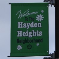
Hayden Heights Neighborhood Flag
blurb
|

|
|
Hazel Park Neighborhood Flag
blurb
|
|
|
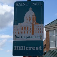
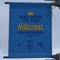
Hillcrest Neighborhood
blurb
|
|
|
Hillcrest Neighborhood Flag
blurb
|
|
|
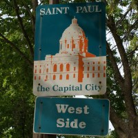
#3 West Side District
blurb
|
|
|
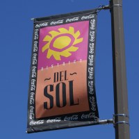
District Del Sol Neighborhood Flag
The District Del Sol is not an official neighborhood. Rather, it is a
commercial district within the Riverview neighborhood. It is noted for
having some of the best Mexican food available in the Midwest.
|
|
|
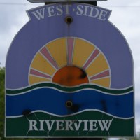
Riverview Neighborhood
blurb
|

|
|
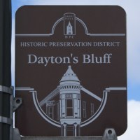
#4 Dayton's Bluff District
Dayton's Bluff was plated in 1857 by Lyman Dayton, a land and railroad
speculator from Vermont. It was developed to be an exclusive neighborhood
for wealthy people. By the 1880s, its potential as an exclusive area
had run its course, and the neighborhood developed in a more economically
and socially diverse manner.
|
|
|
Dayton's Bluff Historic District
The Dayton's Bluff Historic District was created in 1992 to recognize the
historical and architectural significance of the 100 year old homes in
the neighborhood.
|

|
|
#5 Payne-Phalen District
blurb
|
|
|
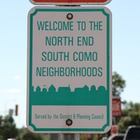
#6 North End District
blurb
|

|
|
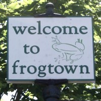
#7 Thomas Dale District
blurb
|
|
|
Frogtown Neighborhood
blurb
|

|
|
#8 Summit-University District
blurb
|

|
|
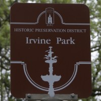
#9 West Seventh District
blurb
|
|
|
Irvine Park Historic District
blurb
|
|
|
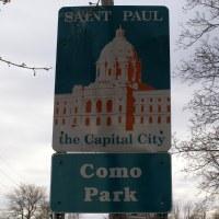
#10 Como Park District
blurb
|

|
|
#11 Hamline-Midway District
blurb
|
|
|
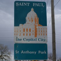
#12 Saint Anthony Park District
blurb
|
|
|
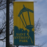
Saint Anthony Park District Flag
blurb
|

|
|
#13 Union Park District
As far as I know, there are no signs posted for Union Park as of 2010. Union
Park was formed in 2007 when the Merriam Park, Snelling Hamline,
and Lexington-Hamline neighbors merged into a single organization.
|
|
|
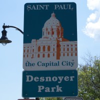
Desnoyer Park Neighborhood
Desnoyer Park is a neighborhood area located within the former Merriam
Park neighborhood.
|
|
|
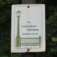
Lexington-Hamline Neighborhood
Lexington-Hamline is one of three neighborhoods that merged to form the
Union Park District Council in 2007.
|
|
|
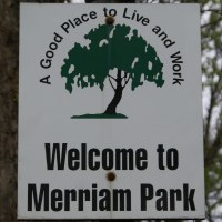
Merriam Park Neighborhood
Merriam Park is one of three neighborhoods that merged to form the
Union Park District Council in 2007.
|
|
|
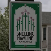
Snelling-Hamline Neighborhood
Snelling Hamline is one of three neighborhoods that merged to form the
Union Park District Council in 2007.
|

|
|
#14 Macalester-Groveland District
blurb
|

|
|
Summit Avenue West Historic District
blurb
|
|
|
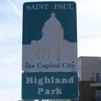
#15 Highland Park District
blurb
|

|
|
#16 Summit Hill District
blurb
|
|
|
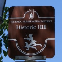
Historic Hill Historic District
blurb
|

|
|
#17 Downtown District
blurb
|

|
|
Central District
blurb
|
|
|
