Some very old maps show a railroad line once crossed the river at this location. I suspect that railroad was removed shortly after 1900, and the roadbed was used for the township road that once crossed the river valley at this location. When visiting the refuge in July of 2008, there was a construction project on the old roadbed. While I was not able to determine what the goal of the project was, it looks like they were adding fill to raise the road slightly. This might be to repair the road for refugee use, possibly for public use, or perhaps it is work that is part of building the new Minnesota Headwaters Trail.
The Big Stone National Wildlife Refuge was authorized in 1971 and established in 1975. At that time, the roadway on the north side of the river, Big Stone County highway 17, the bridge, and some farm roads on the south side of the river were incorporated into an Auto Tour Route for people to drive through the refuge. Several interpretive sites are marked along the tour route. The tour route attracts 150 to 175 vehicles a day during the mid to late summer. At that time, a small heard of buffalo is allowed to graze in a meadow within sight of the Auto Tour Route.
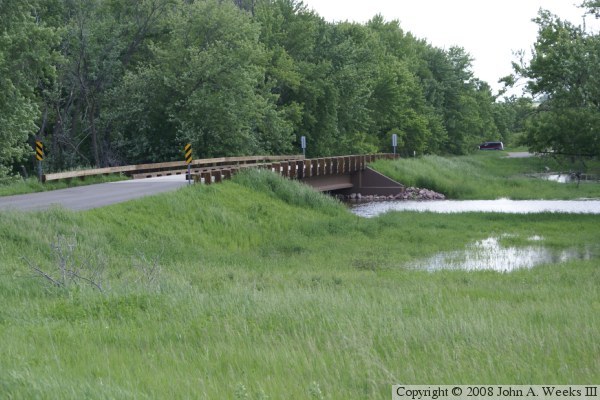
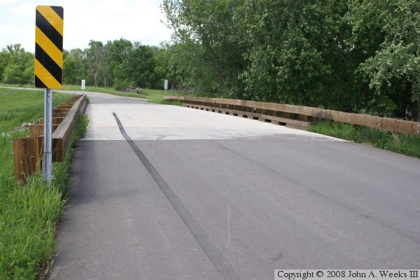
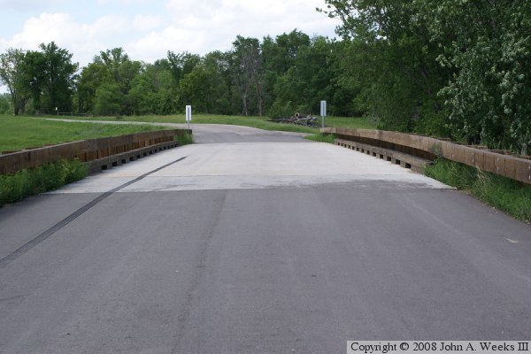
The Refuge Road Bridge was rebuilt in 2007. It has a new concrete deck, new asphalt approaches, and refurbished wooden guard rails. In fact, it appears to have been completely replaced, with only the NBI inventory number remaining from the 1933 structure. While this is not the bridge one would build for an expressway, it fits perfect in this location with limited traffic and beautiful scenery.
The photo above is looking north down the length of the bridge deck. The highway originally continued due north towards highway MN-7. When the refuge was established, the road was diverted in a loop towards the west. A large stone quarry is located just to the east of the old highway alignment on the north side of the Minnesota River.