This old bridge carried the mainline traffic for US-12 between the years
of 1920 and 1953. It served as a county road for several decades after
1953. Today, she stands closed to vehicle traffic and overgrown with
trees and brush.
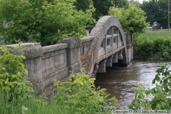
The old US-12 bridge is a Rainbow Arch bridge. This is a relatively
unique bridge style, with the Robert Street Bridge in Saint Paul being a
more famous example. In a rainbow arch, the arch begins below the
bridge deck, then rises above the bridge deck. The center of the arch
supports the center of the bridge by lifting the bridge deck with tension
rods, while the ends of the arch push up the bridge deck through risers
that are in compression. In a more typical arch bridge, the arch is
either totally above the deck, or totally below the deck.
The old US-12 bridge is about to get a new lease on life as this is written
in the spring of 2008. The Minnesota Headwaters Recreational Trail is
being developed during the summer of 2008. It will run between the
Big Stone National Wildlife Refuge Auto Tour Route, run north along the
Minnesota River, crossing the river twice, and then crossing the river
a third time on this bridge. The trail will be 10 foot wide and be paved
with asphalt such that it is handicap accessible. As a result, this
magnificent old bridge should enjoy a long life catering to the needs
of bicyclists, hikers, walkers, rollerbladers, wheelchairs, and any other
mode of human powered transportation that can be dreamed up.
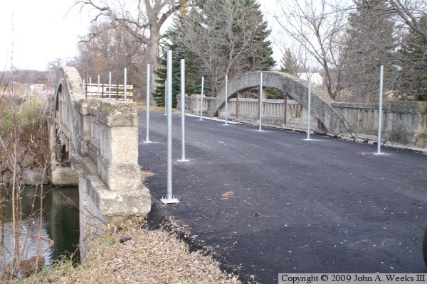
Update—as of November, 2009, the new regional trail conversion project
is nearly done. The bridge has been cleaned up and repaved. A new guard
rail fence is being installed. The remainder of the trail is open, so this
will be the last link of the 4-1/2 mile journey between Ortonville and the
Big Stone National Wildlife Refuge.
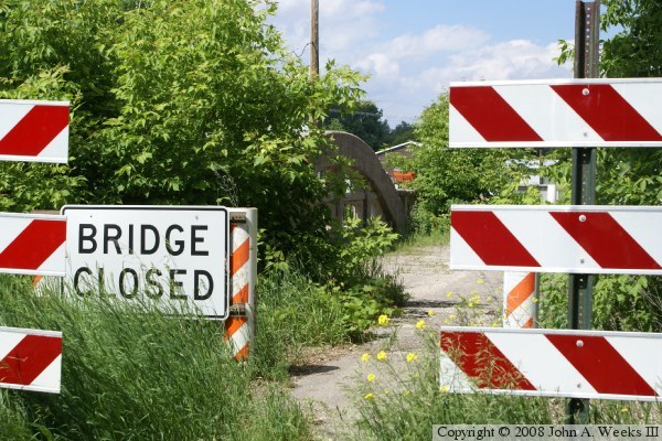
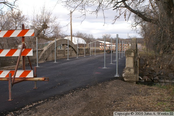
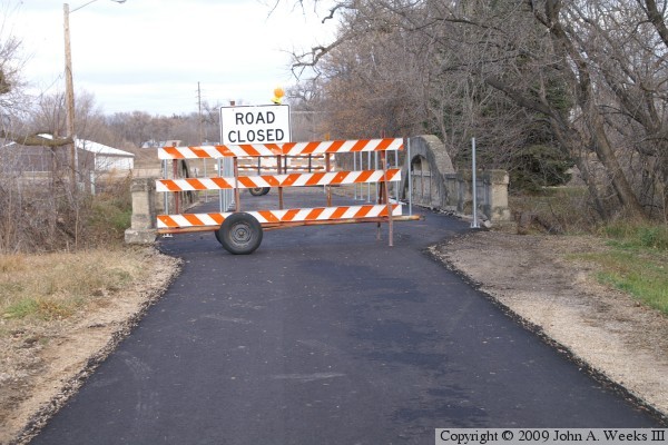
The photo above shows the bridge hiding behind a set of new looking traffic
barricades and overgrown with trees and brush.
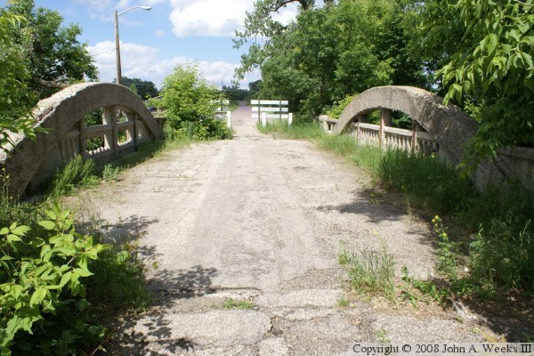
These two photos are views of the bridge deck. The photo above is looking
north down the length of the bridge deck. The photo below is looking
northeast towards the downriver arch. While the concrete shows some surface
deterioration, the bridge structure remains sound.
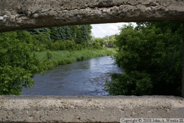
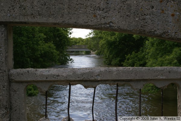
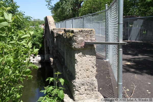
These two photos are views from the bridge deck looking through the gap
between the arch and the bridge railing. The photo above is looking downriver
to the east. The photo below is looking upriver to the west. The bridge
visible in the distance carries US-12 traffic.
The photo above is the upriver face of the arch bridge as seen from the north
side of the Minnesota River. The photo below is a similar view from the south
bank of the river from November, 2009, at the tail end of the bridge
conversion project. The weeds have been cleared, the trail has been paved,
and a fence is being put up on the bridge deck. The arch is much
easier to see with the brush cut back.
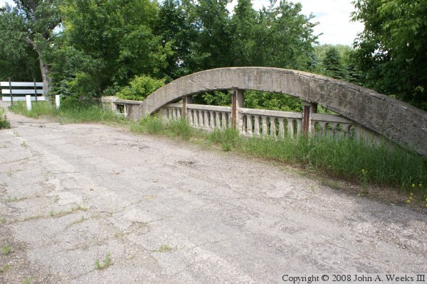
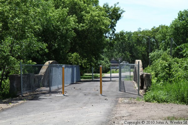
These two photos are additional views from the south end of the bridge. The
photo above is from the southeast corner of the bridge, while the photo below
is from the southwest corner of the structure.
These two photos are looking northeast along the upstream face of the bridge.
The photo above is a view from late 2009 during the bridge conversion project
after the brush has been cut back. The photo above is the same view from
the summer of 2010. Note how quickly the brush has filled out along the
bridge.
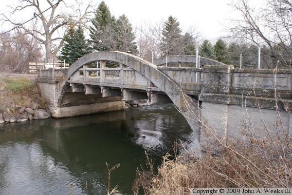
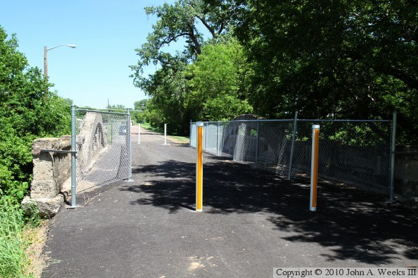
The following three photos are views from early summer of 2010 after the
refurbishment project has been completed. The downstream trail bridges
have also been completed allowing for hikers and bicycles to travel the
4 miles between Ortonville and the Big Stone Wildlife Refuge. The photo
above is looking southwest, while the photo below is looking northeast.