Historically, there were a number of islands on the east bank of the
Mississippi River north of Saint Anthony Falls. Nicollet Island is
the only island remaining intact. Boom Island was the next island
north. It was called Boom Island because it was the anchor point for
a large logging boom. This is where lumbermen would string a chain
across the river to catch logs being floated down to the sawmills. The
logs would be sorted out and channeled to the correct mills.
By the turn of the century, Boom Island was used by the large sawmills
to store lumber while it was being dried. Later, a large sawmill was
built on the island. Shortly after 1900, the Wisconsin Central Railroad
used the lower end of Boom Island for a large rail yard. Local industries
began to fill in the river channels, eventually turning Boom Island into
toxic waste brownfield.
The railroads started to withdraw after WWII, and the Wisconsin Central
abandoned Boom Island in 1970. The City of Minneapolis took over the island.
The lower section was to be the site of the new Interstate-335 river crossing.
The upper island was cleaned up and converted into a marina. Local tour boats
use the space, and there is a public launch for private boats. The site is
famous for one of the best views of the Minneapolis skyline at night. The
park opened in 1987. The highway project has since been canceled, so as
of 2008, the lower island is being cleaned up.
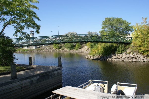
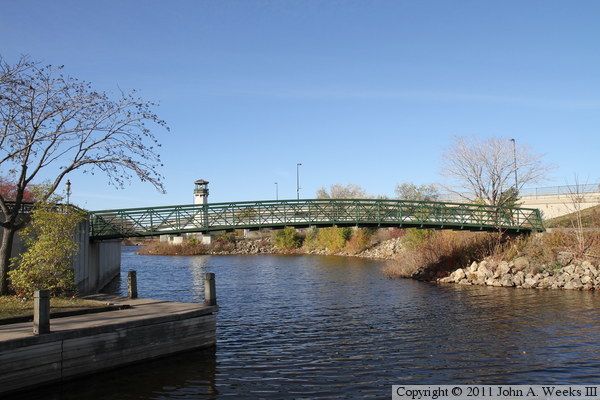
As part of the restoration of Boom Island, one of the original river
channels was reopened and used for the boat launch. The bridge on
this page crosses that channel, which was once a backchannel between
Boom Island and the east shore of the Mississippi River. The photo
at the top of this page is looking west towards the famous lighthouse
at the north end of the Boom Island channel.
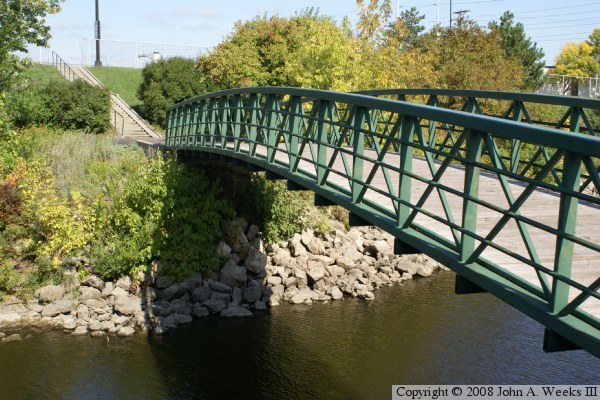
The photo above is a side view of the bridge looking to the northeast along
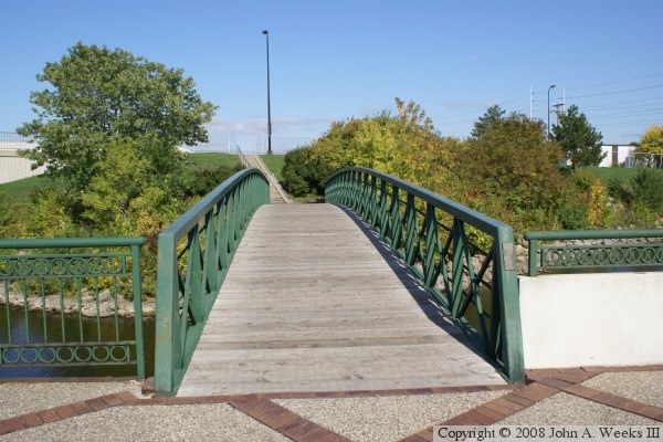
the west face of the bridge towards Plymouth Avenue. The photo below is a
view of the south portal of the bridge. The east abutment of the Plymouth
Avenue Bridge is visible in the background.
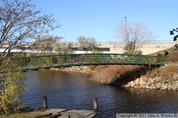
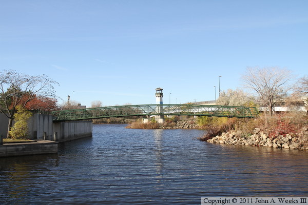
The photo above is looking northwest towards the east face of the Boom Island
Foot Bridge. The easternmost span of the Plymouth Avenue Bridge is visible
in the background. The photo below is looking west down the Boom Island
Channel from the boat ramp. The main channel of the Mississippi River is
located just past the end of the concrete wall. The river flows to the left
in this photo.
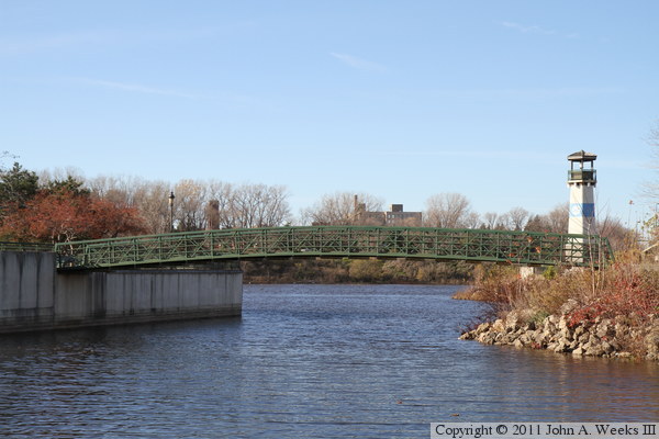
These two photos are additional views of the Boom Island Foot Bridge as
seen looking west down the channel leading from the boat landing to the
Mississippi River. Both photos show the Boom Island Lighthouse in the
background.
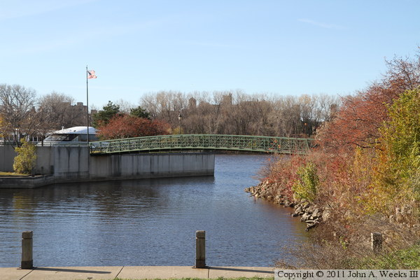
The photo above is another view looking west towards the Boom Island
Foot Bridge from near the boat landing at Boom Island Park. The structure
below the flag is a tour boat that operates from the park. The tour
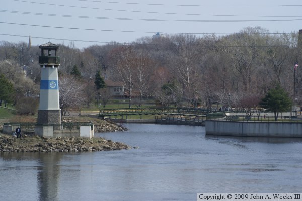
includes passing through the locks at Saint Anthony Falls. The photo
below is the reverse angle looking east across the Mississippi River into the
Boom Island Channel as seen from the West River Parkway. While the
grass is green on this April 2009 morning, the trees do not yet have leaves.