Current Weather Conditions
John A. Weeks III
Tuesday, April 16, 2024, 3:19:19 AM CDT
Home Photo Tours Rail Fan 12 Easy Steps
Aviation Spacecraft Highways & Bridges About The Author
 
Google Search
Maps   Groups   Images   Search
 
  Home
  • 12 Easy Steps
  • Aviation
  • Spacecraft
  • Highways & Bridges
    » Bridge Photography
      - MSP River Bridges
      - C & D Canal
      - Illinois River
      - Minnehaha Creek
      - Minnesota River
      - Mississippi River
        › Lake Itasca Area
        › Bemidji Area
        › Cass Lake - Ball Club
        › Grand Rapids Area
        › Blackberry - Crosby
        › Brainerd Lakes Area
        › Little Falls Area
        › St. Cloud Area
        › North Metro Area
        › Port Of Minneapolis
        › St. Anthony Falls Area
        › Mississippi Rvr Gorge
        › St. Paul Area
        › S St. Paul - Hastings
        › Red Wing - Winona
        › La Crosse Area
        › Lansing - Clinton
        › Quad Cities Area
        › Muscatine - Louisiana
        › St. Louis Area
          · Clark Superbridge
          · Melvin Price L&D
          · Chain Of Rocks Canal
          · New Chain Of Rocks
          · Double Chain Bridge
          · Chain Of Rocks Br
          · Single Chain Bridge
          · Water Intake Houses
          · Dam #27
          · Lock #27
          · Merchants Bridge
          · McKinley Bridge
          · McKinley Br (EB)
          · McKinley Br (WB)
          · Ronald W Reagan Br
          · Martin Luther King
          · Eads Bridge
          · Poplar Street Br
          · Gen D MacArthur Br
          · Jefferson Barracks Br
        › Chester - Cairo
        › Miss - Tenn - Ark
        › Ark - Miss - Louisiana
        › Louisiana Structures
      - Missouri River
      - St. Croix River
      - St. Louis River
      - Wisconsin River
      - Best Miss River Photos
      - Cable Stayed Bridges
      - McGilvray Road Bridges
      - I-35W Bridge Disaster
      - Miscellaneous Bridges
      - Madison County Bridges
      - Hist Br Weekend 2013
    » Road Geek Topics
  • Photo Tours
  • Rail Fan
  • About The Author
 
Site Search By JRank
Highways, Byways, And Bridge Photography
New Chain Of Rocks Bridge
I-270 Mississippi River Crossing At Saint Louis
Saint Louis, Missouri

New Chain Of Rocks Bridge

• Structure ID: NBI 000060003514265.
• Location: River Mile 190.8.
• River Elevation: 399 Feet.
• Highway: I-270.
• Daily Traffic Count: 56,800 (2003).
• Bridge Type: Concrete Deck Steel Girder.
• Length: 5,411 Feet Overall.
• Width: 54 Feet, 4 Lanes.
• Navigation Channel Width: Non-Navigable.
• Height Above Water: 25 Feet.
• Date Built: 1967.
There are four bridges as part of the Chain of Rocks crossing, two on the new I-270 alignment, and two on the old US-66 alignment. This bridge is on the new I-270 alignment, and it crosses the main channel of the Mississippi River.

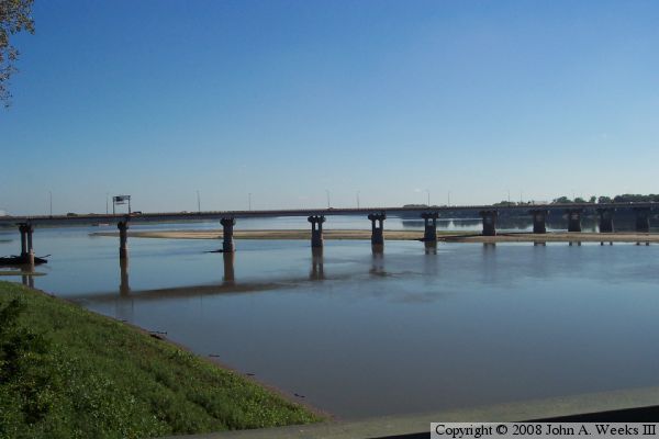
The river is so shallow here that it is impassible to boats most of the year. In addition, the river has a hard rock bottom, so it is not possible to dredge a deeper channel. To enable boats to navigate past the Chain Of Rocks area, a 8.4 mile long canal was built from just north of downtown Saint Louis to just below the confluence with the Missouri River.

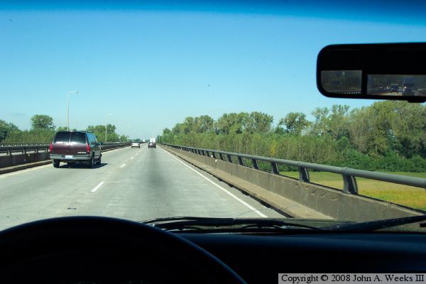
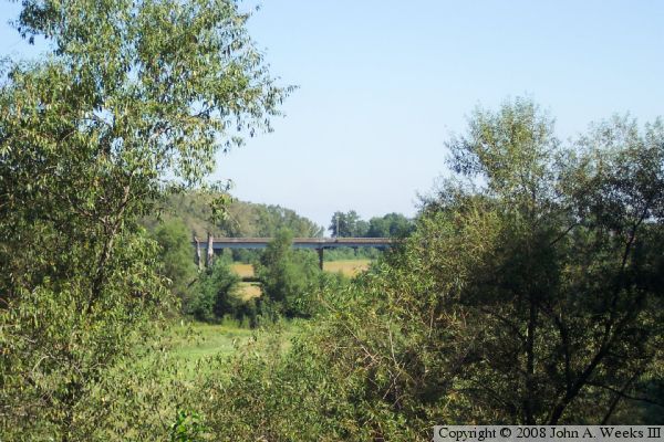
The reason for two bridges on each alignment is that the highways have two waterways to cross, the Mississippi River main channel, and the Chain Of Rocks Canal.

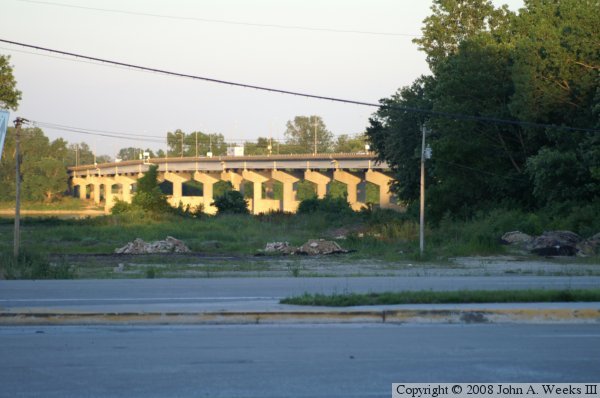
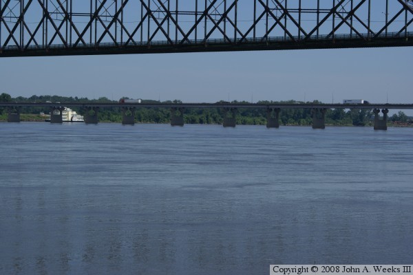
Since there is no navigation traffic on the main river in this area, bridge designers did not have to worry about making the bridge high enough for boat traffic, nor did they worry about where they put the piers. The result is a totally nondescript bridge that would look at home on any 1960's era urban freeway. That is rather ironic given that the Double Chain Bridges just to the east of here are such spectacular structures.


New Chain Of Rocks Bridge

Made With Macintosh
Authored by John A. Weeks III, Copyright © 1996—2016, all rights reserved.
For further information, contact: john@johnweeks.com