The Big Bend Dam is named after a large loop in the river channel where
the river makes a 25 mile long bend, only to loop back within a mile of
itself. The dam is the second smallest of the six major dams on the
upper Missouri River. It was also the last of the six to be completed.
The main purpose of the Big Bend Dam is to store water released from
the upper river dams to be used to generate massive amounts of carbon-free
electricity. In full operation, the power plant generates 493.3-megawatts.
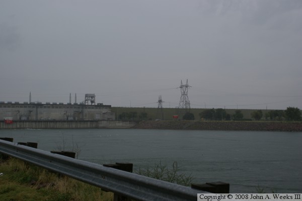
The dam sits in an interesting spot. The river below the dam is part
of Lake Francis Case, the lake that backs up behind Fort Randall Dam
107 miles downstream. The water behind Big Bend Dam is called Lake
Sharpe, which extends 80 miles behind the dam, where it backs up to
the Oahe Dam. As a result, the pool level of the Big Bend Dam is the
same as the outflow level of the Oahe Dam, and the pool level of the
Fort Randall Dam is the same as the outflow level of the Big Bend Dam.
The Big Bend Dam was authorized by an act of Congress in 1944. Construction
began in 1959. The dam was closed in 1963, and was completed in 1966.
The power plant first unit was completed in 1964, and the remaining units
were on line by 1966.
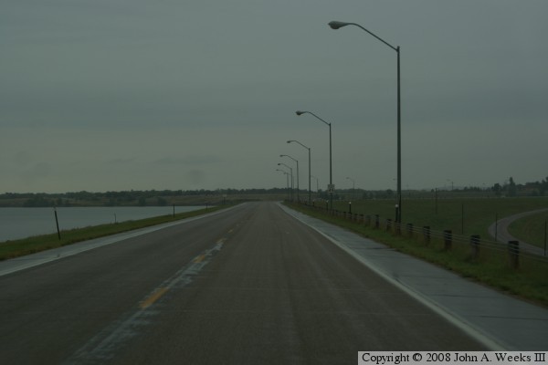
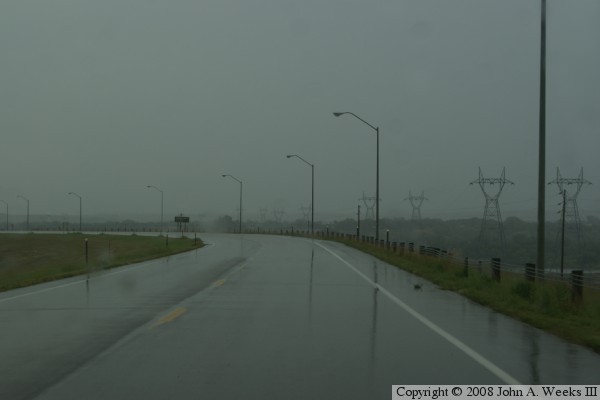
These photos are a bit dark due to the weather. Most shots were taken
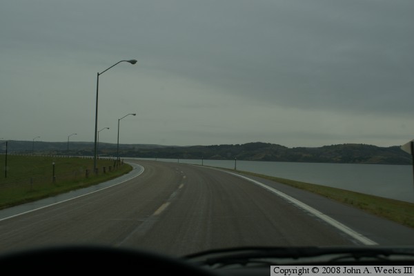
during a late fall rainstorm. The photo is taken from the east end of
the dam looking west. The dam features two large bends over its nearly
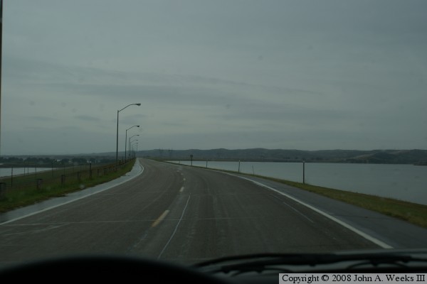
two mile length. The photo below is the straight section between the
two bends. The lake is to the right, and the outflow is to the left.
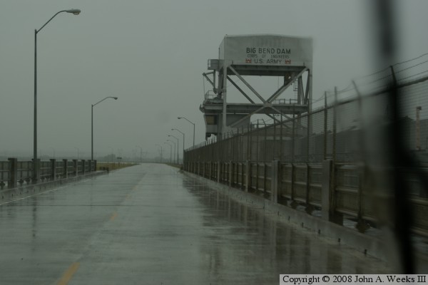
The photo above shows the remains of a bridge that once crossed the
Missouri River at this location. The photo below shows the highway
on top of the heading east about half way across the structure.
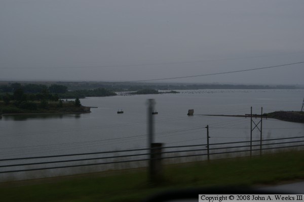
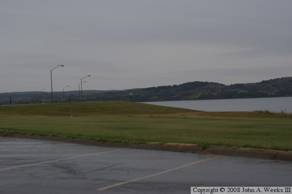
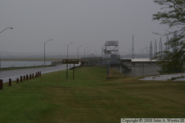
The photo above is taken from the parking lot near the spillway, which
shows the lake and the bluffs on the west side of the river, which are
nearly 2 miles in the distance.
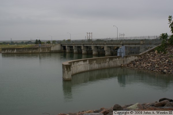
The photo below is the highway bridge over the spillway structure.
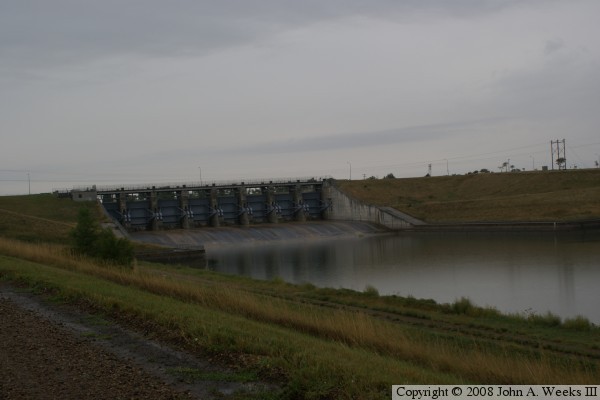
These two photos show the spillway in more detail. The spillway is
much smaller than on the three major dams upriver from the Big Bend Dam.
The spillway is also at lake level in normal operation, and the outflow
is very near the outflow level. That is in contrast to the rarely used
spillways on the three upriver dams where the spillway sits high and
dry most of the time. The upper photo is the lake side of the spillway,
while the photo below is the downriver side. The 8 Tainter gates can
clearly be seen. They are approximately 39 feet wide by 40 feet tall.
The spillway itself is 376 feet wide.
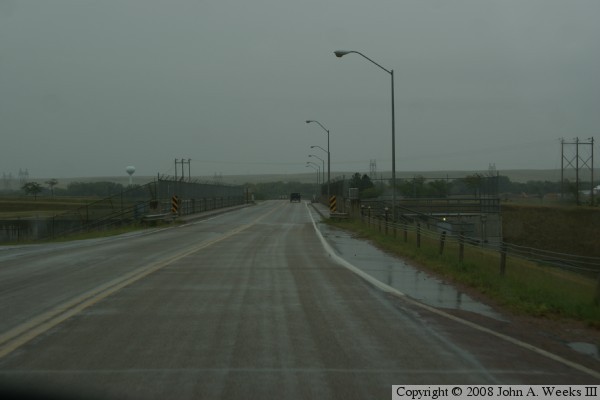
The photo above is another photo taken from the highway that crosses the
dam. One can see that it is raining in this photo, which limits the view.
The photo below is taken from the service road at the base of the dam. The
dam is 95 feet tall. The dam is 1,200 feet thick at the base, and it
tapers back to being only 50 feet thick at the top. The face of the dam
is planted in grass, which is mowed at least twice a year. The mowed
grass aids in making routine inspections of the structure.
These photos are two views of the power plant from the top of the dam.
Unlike the power plants of the three dams up river, the power plant for
the Big Bend Dam is built right into the dam itself rather than being
a separate structure fed by tunnels. The vertical structure is a moving
crane that is used to adjust the intake valves and to aid in servicing
the power plant.
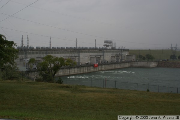
These two photos show the down river view of the power plant and the
outflow canal. The power plant contains 8 generating units. Each
unit puts out nearly 62-megawatts each, for a total of 493-megawatts
when running in full operation.