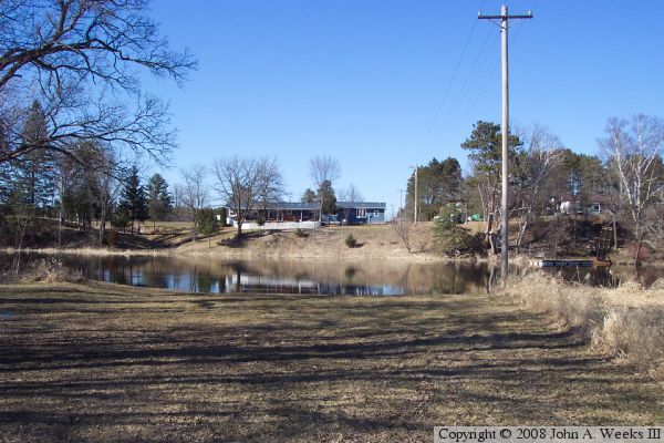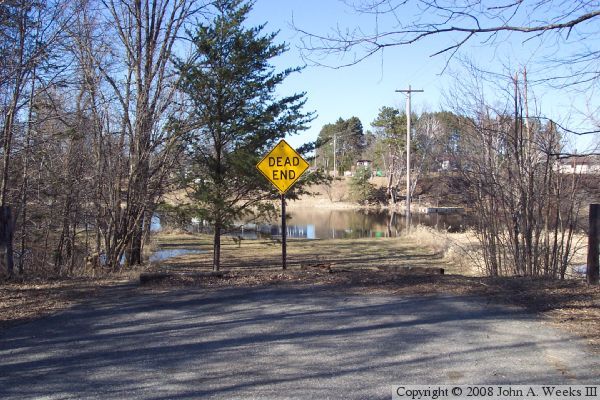
The photo above is looking north across the river from the near the end of the road that once crossed the old bridge. The photo below is the same view from just beyond the end of the road. The power lines still cross the river at this location. The new highway crosses the river about 1,900 feet upriver off the left side of the photograph. That road continues east and passed just beyond the houses in the photo below.

|
John A. Weeks III
Wednesday, July 15, 2026, 4:22:24 PM CDT |
|||
| Home | Photo Tours | Rail Fan | 12 Easy Steps |
| Aviation | Spacecraft | Highways & Bridges | About The Author |