Moose Line Road, also known as National Forest Road #130, is the
main north-south forest road though the western part of the Superior
National Forest. The road appears to be upgraded from an old logging
road or logging railroad. It is well graded and features a relatively
smooth gravel surface. The road is used for a snowmobile trail in
the winter months.
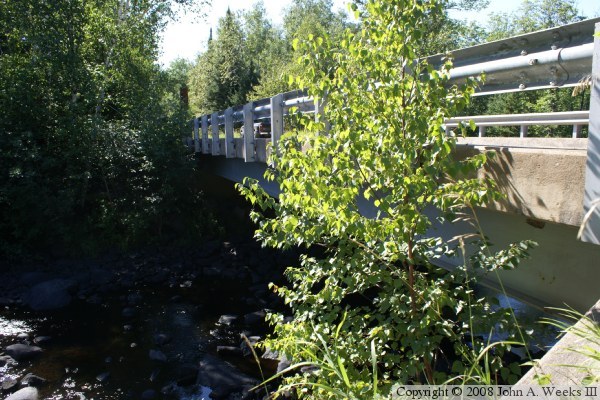
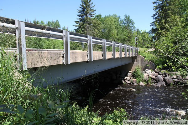
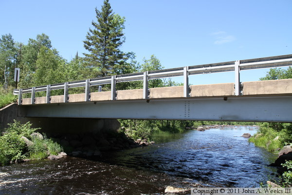
The bridge is a very simple structure. It is built by placing large
metal I-beams across the gap between the abutments. The gaps between
the beams are filled in with plywood supported from the bottom,
resulting in a flat smooth surface. Workers then poured a six-inch
thick concrete deck over the beams. To finish off the ridge, steel
railings are attached to the edge of deck. While this construction
method is a little too light duty for a US-highway or Interstate
highway, it is perfect for low traffic situations that supports
very little truck traffic.
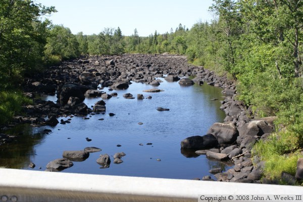
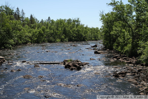
The Saint Louis River is very interesting looking at this location. The
riverbed is filled with large black rocks. The water flows between
the rocks and is only rarely visible. The result is that the river
looks like a large lava flow, much like what one might see in Hawaii
or the desert southwest.
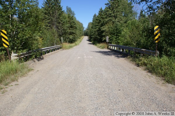
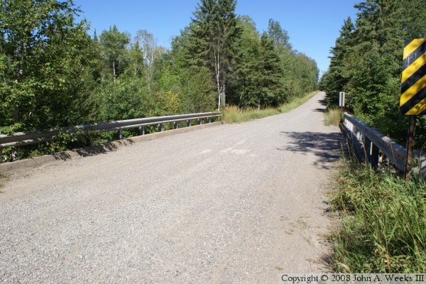
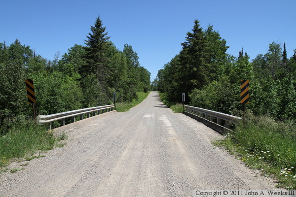
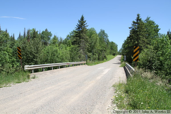
The photo above is looking south down the center of the Moose Line Road
Bridge. The photo below is looking southeast across the bridge deck from the
northwest corner of the structure.
The photo above is looking downstream to the west from the deck of the Moose
Line Bridge. The concentration of black rocks in the river channel almost
hides the fact that this is a river. The photo below is the downstream west
face of the bridge. Between the thick greenery, steep banks along the road,
and rocky terrain, it is difficult to get a profile view of this structure.
These two photos, and the six that follow, are from July, 2011. I am not
sure if they add much to the story, but there was a bridge and a blue sky
day, so I couldn't pass it up. The photo above is a very similar view to
the photo at the top of the page, but it is framed a little bit better.
Likewise for the photo below, it is similar to the second photo from the
top. Both are looking north down the length of the bridge deck.
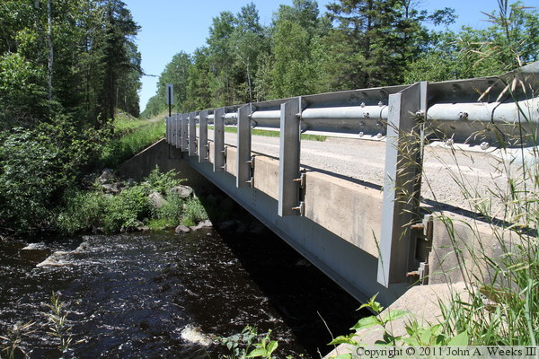
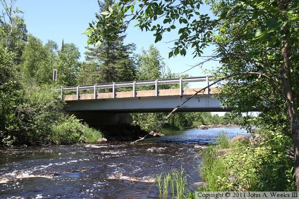
The photo above is looking north along the east face of the bridge, while
the photo below is looking south along the east face of the structure.
The trees and brush have been cut back from along the bridge. It looks like
this was part of an overall maintenance upgrade to Moose Line Road that was
funded by government stimulus money.
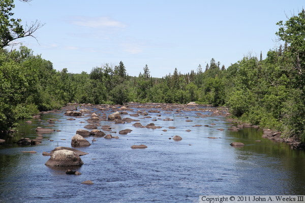
The photo above is looking upstream to the east from the bridge deck, while
the photo below is looking downstream to the west. Note the only the tops
of a few rocks are visible compared to the downstream photo above from a
few years ago. Heavy rains have caused high water levels. The water here
appears to be about three feet above normal.
These two photos are views looking downstream to the west from the north river
bank. The photo above is from near the northeast bridge abutment, while the
photo below is from about 200 feet upstream.