| Highways, Byways, And Bridge Photography |
Cross Seminole Trail Overpass
I-4 Pedestrian/Bicycle Crossing At Sanford
Sanford, Florida
| • Bridge: |
Cross Seminole Trail Overpass |
| • City: |
Sanford |
| • State: |
Florida |
| • Country: |
USA |
| • Carries: |
Cross Seminole Trail |
| • Crosses: |
I-4 |
| • Date Opened: |
June 2003 |
| • Total Length: |
1,003 Feet |
| • Longest Span: |
373 Feet |
| • Tower Height: |
90 Feet |
| • Deck Width: |
14 Feet |
| • Number Of Spans: |
1 |
| • Height Above Highway: |
20 Feet (Estimated) |
Seminole County, Florida, has an extensive system of walking and
bicycle trails. The Cross Seminole Trail is being developed to
provide a trail that goes east and west across the county, and
connects the major north south trail along the old Orange Belt
Railroad to trails south and east in Orange County.
The biggest obstacle in building the Cross Seminole Trail is finding
a safe way to cross Interstate Highway 4. The trail was routed over
a highway overpass, but it was a difficult crossing due to the
large volume of traffic in this area. A need was recognized to build
a dedicated trail overpass. A cable stayed design was picked to avoid
having to place any structure within the right-of-way on I-4. This
lead to the 373 foot long clear span over the highway.
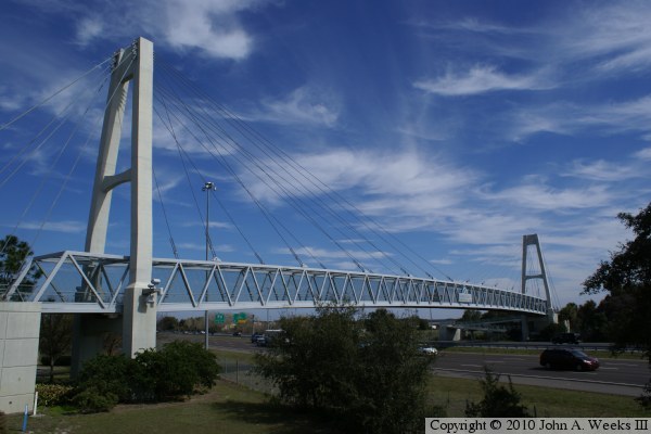
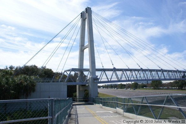
The photo above is looking east at the south face of the Cross Seminole
Trail Overpass. The photo below is looking east along the south face of
the structure from the ramp leading to the west end of the bridge.
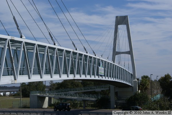
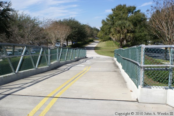
The photo above is walking up the ramp on the west end of the bridge. The
photo below is a view of the west bridge tower from the ramp on the west end
of the structure.
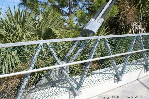
These two photos are detail views of the cable attachments. The photo above
is a cable attachment on the bridge anchor block. The photo below is a
cable attachment on the main bridge span. The anchor block attachments
hold the main tower in position and balance the forces from the cables
supporting the suspended span.
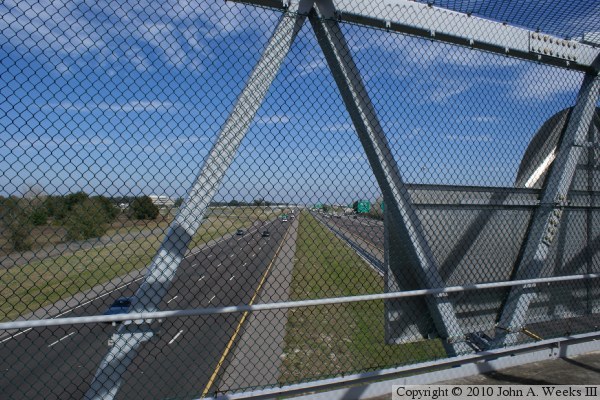
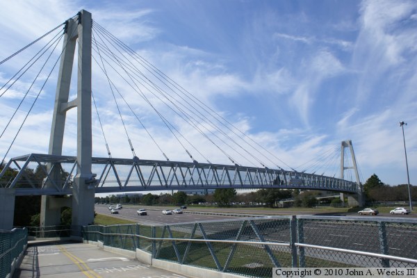
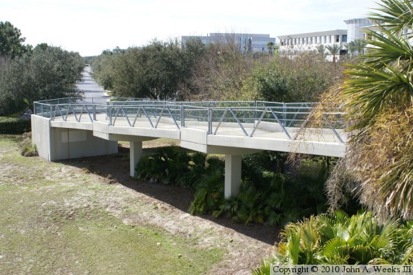
The photo above is a view of Interstate highway I-4 looking north from the
middle of the suspended span. The photo below is looking west along the
north face of the bridge from the ramp on the east end of the highway
crossing.
These two photos are similar views of the north face of the bridge as seen
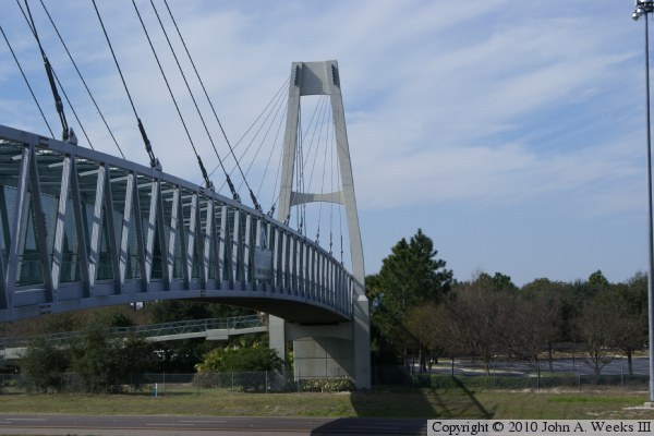
from the ramp on the east side of the I-4 highway crossing. The photo above
is a view of the east bridge tower. The photo below is a view of the entire
suspended span. Note that the ramps make a loop and pass under the bridge
deck between the anchor block and support tower.
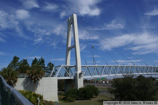
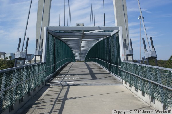
The photo above is looking west down the north face of the Cross Seminole
Trail Overpass towards the west bridge tower. The photo below is the east
end of the suspended span. The bridge deck passes through the bridge
truss structure.
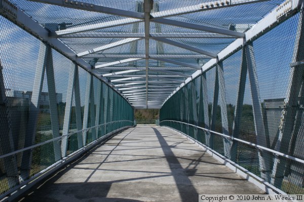
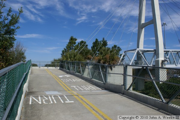
These two photos are views heading westbound across the bridge deck. The
photo above is a view from mid-span, while the photo below is nearing the
west end of the suspended span.
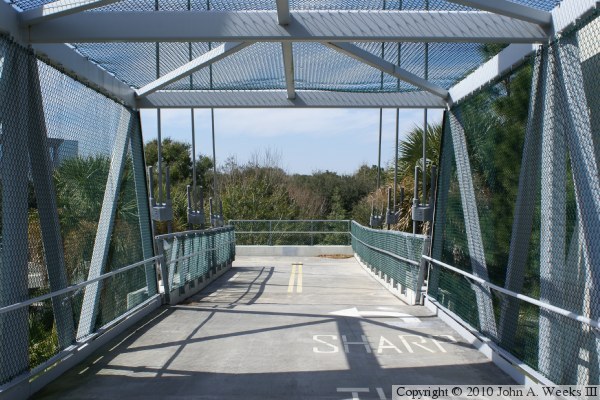
The photo above is a view of the ramp leading to the anchor block on the
west end of the bridge. The photo below is a view heading westbound down
the final segment of ramp on the west end of the highway crossing.
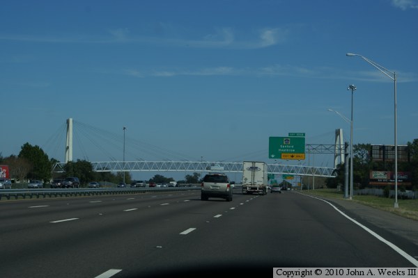
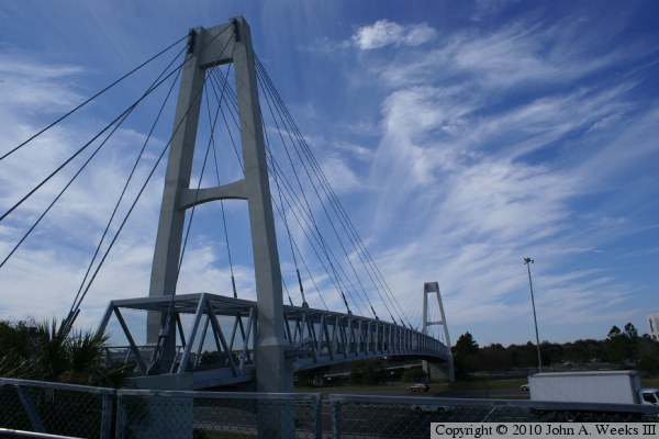
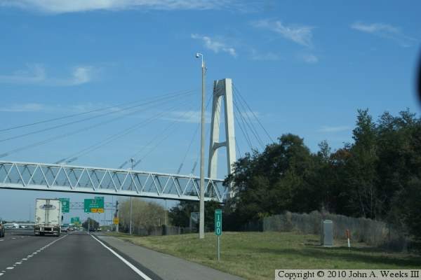
These two photos are views of the Cross Seminole Trail Overpass heading
northbound on Interstate highway I-4. The photo above is a view of the
entire bridge span, while the photo below is a closer view of the east
bridge tower.
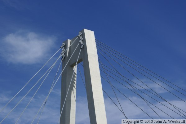
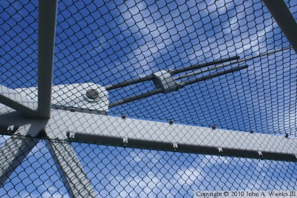
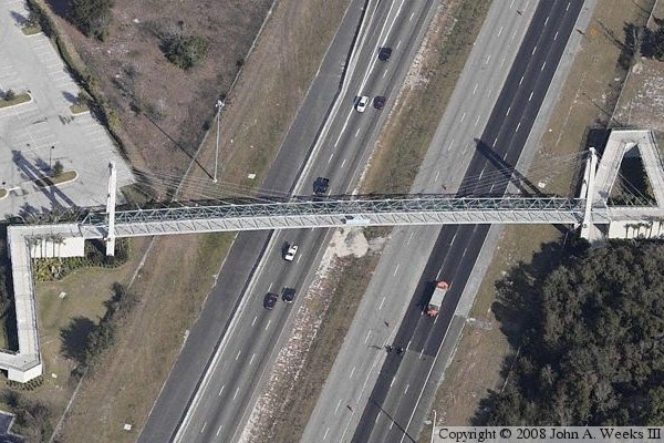
The photo above is a detail view of the cable anchors at the top of the west
bridge tower. Note that there are 3 cables leading down to each side of the
anchor block, while there are 6 cables attached to each side of the suspended
span. The photo below is an overhead view of the bridge that has been clipped
from an Internet mapping service. Note that the highway lane configuration
is different in this view. The highway has 4 lanes in each direction in
these 2010 photos, but the photo below shows 3 lanes southbound, and 6 lanes
northbound. I suspect that the highway is being rebuilt in the photos below,
and that the southbound lanes have been (or will be) diverted to the 3
unused lanes on the right side of the median.
|
